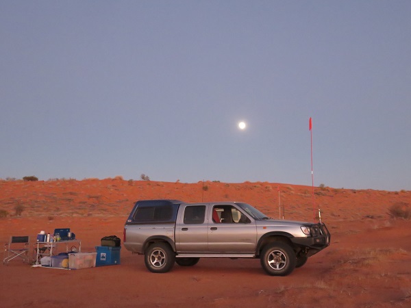
Ian took this photo of the camp site about 8.25am. It shows how dry the place was and how insignificant we were in the vast desert expanse.
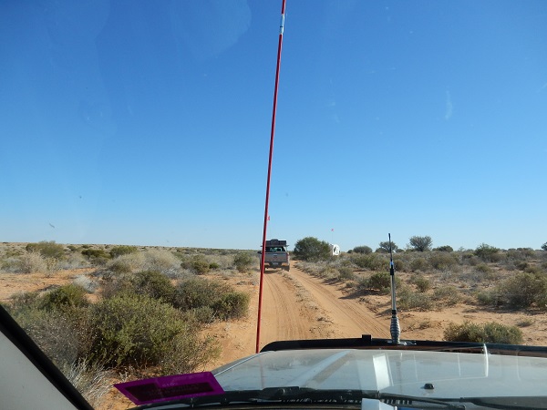
About an hour later as we were travelling north, mostly between the sand dunes, the road seemed fairly smooth and I thought we should make good time:
It didn’t stay that way, of course. From time to time some strange noises were emerging from the back of our vehicle. It sounded like a tyre scraping on the guard as we lurched through large potholes. Len and Darral decided to investigate. The next five photos record their thorough investigation, which the camera tells me took all of three minutes:
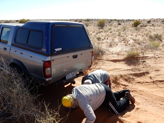
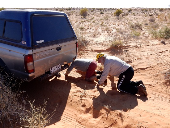
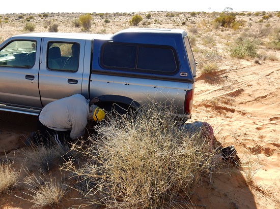

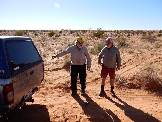
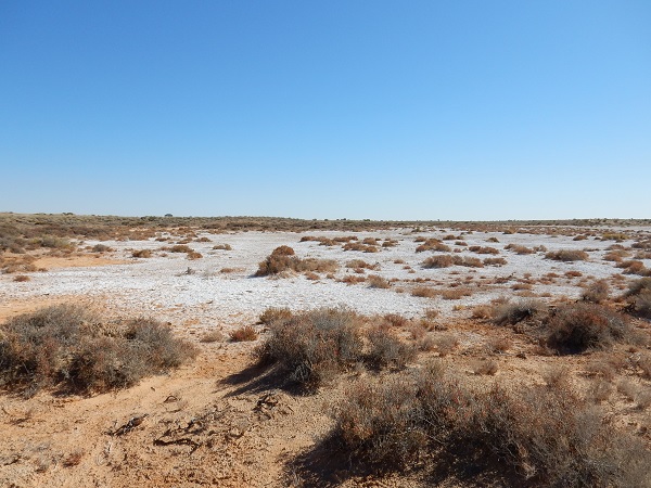
Nothing of concern could be identified so we continued on our way. About 40 minutes later we stopped near an amazing encrusted salt pan:
Eoin found something red. Is that fruit or flower?

Len found red too. Looks like berries:

Margot found Darral in his Eureka flag T-shirt:

This is what the encrusted salt looked like close up:

We were getting near the Approdinna Attora Knolls. Increasingly on the track we found outcrops of white rock:

Those don’t look too bad but really they were often quite rough and annoying. Here’s another shot taken by Marion behind us:

We reached the Knolls about 10.40am. The information board mentions two hills. I swear I only saw one:

Certainly only one was photographed. The figure disappearing up the hill was Ian. I know because he then took this photo showing the rest of us in shot:

Note the trees and the salt pan in the mid-distance. In other directions there was more salt and fewer trees:

Ian looked up into a tree and this is what he saw:

Darral looked down:

By 11.15am we were at the French Line junction, where we needed to turn right to head for Poeppel Corner. 40 kilometres to go, so we should be there in two hours, right? Wrong, it took us until 3.30! First we needed some smoko. There was plenty of space around, but some found a bit of shade for once.


On this part of the French Line there is no alternative track, except the Rig Road a long way south, so we had quite a bit of traffic coming the other way:

It was basically one sandhill after another:

with an increasing number of salt pans in between:

The sandhills were becoming increasingly demanding. Here Ian is stuck again:

He wasn’t on his lonesome. In the next incident, Darral alerted us to the fact that Eoin was having trouble up the back. Len and Darral went to investigate:

All in good time, after several goes, Eoin and Betty appeared over the hill:

Naturally there needed to be a post mortem over what had transpired.

The surrounding landscape was desperately dry:

Each of those incidents delayed us about 10 minutes. We all had to have a second run at sandhills except perhaps Darral. Once he was following too close when we got stuck, so he had to back up a few metres to get momentum. That doesn’t really count so we’ll give him a clean sheet. I was proud that “Bessie”, our vehicle, formerly known as “The Beast” only failed on two. No-one had to be towed or use a winch or the maxi-tracks.
I’m not sure why we stopped at this sandhill. Perhaps a comfort stop.

It was near where we had lunch, on the edge of a large salt pan:

Len was investigating nooks and crannies again. This time he found a small birds’ nests dug out of a ‘cliff’ of sand:


After lunch more oncoming traffic and salt pans:

Eventually we arrived at Poeppel Corner which marks the junction of Queensland, South Australia and the Northern Territory with great precision:

Here we have me, Len, Margot, Betty, Patsy, Ian, Don and Irene. Eoin is taking the photo, but where are Marion and Darral?

Actually Marion is behind me and Darral is just appearing on the left. Here we have them with Len and me:

And here’s Eoin with Margot, Betty and Patsy:

There was quite a congress at Poeppel Corner. A group led by the Big Cheese from the relevant Queensland Government department was there on a familiarisation tour, in preparation for a meeting to be held in Boulia:

One bloke told me they were to be discussing plans for ‘developing’ the area, you know, tourism and such. I told him that picking up the toilet paper we’d found around the bushes in some places would be a good start. He said, yes, they do that from time to time, indeed they do!
Not long after we left Poeppel Corner we came to a very large salt pan:

There we turned left and headed slightly west of north (and hence slightly into the Northern Territory) for a considerable distance to pick up the QAA Line which would take us back across the NT/Queensland border to Birdsville:

We travelled for nearly half an hour on that salt pan:

At about 4.25 Central Time Don picked what would have been the last suitable camping site for quite a distance. Our camp was just before we passed out of the Northern Territory and into the Queensland section of the Simpson Desert. As the area adjacent to the Northern Territory border is a Queensland National Park, no camp fires are allowed from this point on.

Here’s the camp site:

It had been a strange day, with lots of stops and starts. We had our last camp fire and burnt the remainder of our timber supply:

I think I can discern a bottle of Glenfiddich on the table on the right, brought out to celebrate our last night in the desert. That was also the night Marion cooked shearers’ surprise in a camp oven. We did live well in the desert!
Note: This post is the eighth in a series on our Red Centre holiday.

